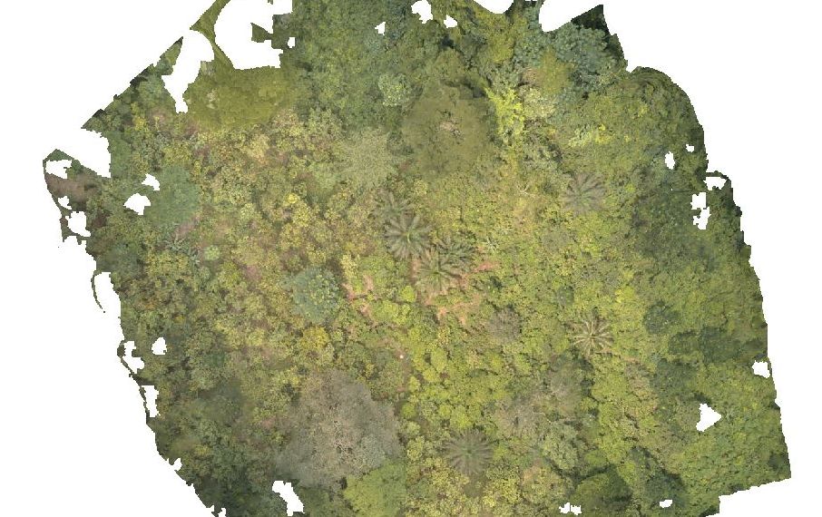
| Marco Baldo Supervisor: Tomonari Matsuo (WUR Forest Ecology and Forest Management) In this study, I developed several detailed canopy heights models to evaluate the structure of a secondary tropical forest to assess the above-ground biomass in a 0.0625 ha plot. We a drone to map the forest, and I computed the forest modeling through the 3D scanning software Agisoft Metashape Pro by following steps: 1- Align drone photos and aligned project with references 2- Insert markers to optimize the alignment and creation of the Point cloud (with aligned photos) 3- Creation of a Dense Point cloud to structure the forest in 3D 4- Building the Surface Elevation Model referred at the Canopy Height Model 5- Building the Digital Elevation Model to be subtracted at the Canopy Height Model. 6- Realizing the Orthophoto in the way to contours the canopy of the single trees. |